If you want the short answer, the best way to compare two cities with astrocartography is to start with a real goal, identify the strongest nearby lines in each location, then compare planet + angle + life context instead of asking which city is simply “better.”
That difference matters because astrocartography is not very useful when treated like a one-number score. It becomes useful when it helps you compare two real places through the lens of your actual decision: relocation, travel, career direction, relationship goals, or a broader lifestyle shift.
Most people who compare cities with astrocartography are really asking some version of these questions:
- Which city looks better for career growth?
- Which place feels more supportive for home life or emotional ease?
- Which city is better for a short stay versus a long-term move?
- What if one place looks exciting and another looks stable?
- How do I compare cities without overreading every line?
This guide gives a practical framework for doing that well.
Quick Answer
To compare two cities with astrocartography, use this order:
- Define what you are comparing them for
- Check the nearest lines around each city
- Read the planet and the angle together
- Compare the dominant themes in each place
- Add practical filters like work, money, visas, safety, and timing
- Use the map to compare trade-offs, not to search for magical certainty
The most important idea is this:
Astrocartography is strongest when it helps you compare two real options in context. It is weakest when you expect one line to make the whole decision for you.
Start With the Decision, Not the Map
A common mistake is to open the map first and only later ask what matters.
That usually creates confusion.
A better method is to begin with the real decision.
Examples:
- I am comparing two cities for relocation
- I want to know which place fits a creative retreat better
- I need to compare a career-focused city and a lifestyle-focused city
- I want to know which city feels better for stability versus visibility
Once the goal is clear, the map becomes easier to read.
What You Should Compare First
Before looking at lines, decide what outcome matters most.
If the goal is relocation
You may care more about:
- home life
- emotional stability
- long-term fit
- sustainability
- overall life direction
If the goal is travel
You may care more about:
- short-term energy
- novelty
- inspiration
- emotional feel
- whether the place supports exploration or retreat
If the goal is career
You may care more about:
- visibility
- ambition
- public momentum
- discipline
- pressure versus opportunity
If the goal is relationships
You may care more about:
- closeness
- emotional ease
- attraction
- interpersonal intensity
- comfort versus challenge
The clearer the goal, the more useful the comparison becomes.
Step 1: Pull Up Both Cities and Look for Nearby Lines
Once you know the goal, look at both cities and identify the nearest major lines.
You are not trying to decode the entire map. You are trying to answer:
- Which line is nearest city A?
- Which line is nearest city B?
- Are there clusters or crossings?
- Do the two cities suggest different themes?
At this stage, the comparison is often already enough to show that the two places are emphasizing very different things.
Step 2: Read Planet + Angle Together
The same planet can feel different depending on the angle.
That means you should not stop at:
- “This city has Venus”
- “This city has Saturn”
Instead, ask:
- Is this Venus on ASC, DSC, MC, or IC?
- Is this Saturn on ASC, DSC, MC, or IC?
That is what turns a vague reading into a usable one.
For example:
- a planet on MC may be more connected to visibility, public trajectory, and outward direction
- a planet on IC may feel more related to home, roots, and inner life
- a planet on DSC may feel more relational
- a planet on ASC may affect identity and direct experience of place
The real comparison is never just planet vs planet. It is:
city + planet + angle + goal
Step 3: Compare Themes, Not Winners
A lot of people want astrocartography to tell them which city wins.
That is usually the wrong mindset.
A better question is:
- What does city A emphasize?
- What does city B emphasize?
- Which emphasis is more aligned with what I need right now?
That often produces much better decisions.
One city may look:
- more expansive but less grounded
- more visible but more demanding
- more comfortable but less exciting
- more emotionally rich but less stable
That does not make one city objectively good and the other bad. It means the trade-offs are different.
Step 4: Separate Short-Term Fit From Long-Term Fit
This is one of the most useful comparisons you can make.
A place that works well for:
- travel
- a short creative reset
- a temporary base
- a season of intense change
may not be the same place you would want for:
- long-term domestic stability
- family life
- sustainable work rhythm
- emotional rest
That is why a city comparison should always ask:
- Is this a short-term fit?
- Is this a long-term fit?
- Do I want intensity right now, or do I want steadiness?
Step 5: Bring Reality Back Into the Comparison
A chart can improve a comparison, but it does not replace reality.
After reading both cities, compare them again using:
- cost of living
- visa constraints
- job opportunities
- safety
- language fit
- social support
- family obligations
- health needs
This is not separate from astrocartography. It is how you use astrocartography well.
The map is strongest when it helps you organize the symbolic side of the decision while real-world facts keep the comparison honest.
What If One City Looks Better on the Map but Worse in Real Life?
This is a normal outcome, not a failure.
Sometimes astrocartography will show:
- a place that looks highly energizing, but practical life there is too difficult
- a city that looks less exciting symbolically, but is far more realistic and sustainable
That does not mean the chart is useless. It means the chart is one layer of the decision.
In those moments, the useful question becomes:
- Is this city a fantasy fit or a real fit?
- Is there a way to use this place short-term without forcing it into a long-term role?
That is a more mature use of the map.
What If Both Cities Look Mixed?
That is also normal.
Most serious comparisons are mixed because real life is mixed.
When both cities have strong but different signals, try this:
Ask which city fits the current season of life
Not your ideal self in the abstract - your real priorities now.
Ask which trade-off is easier to live with
One city may be better for visibility, but another may be better for calm.
Ask whether one place works better as a test than a commitment
Sometimes the best use of astrocartography is not “Choose the final answer.” It is “Choose the better experiment.”
A Practical Comparison Framework
If you want a simple working framework, use this scorecard:
City A
- nearest line(s)
- main theme
- best fit for what goal?
- strongest possible upside
- most obvious trade-off
City B
- nearest line(s)
- main theme
- best fit for what goal?
- strongest possible upside
- most obvious trade-off
Final question
Which city is more aligned with what matters most right now?
That question usually works better than “Which city is objectively best?”
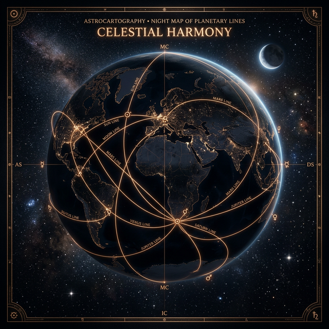
Why the Astrocartography Chart Is Better Than Abstract Guessing
A lot of confusion comes from trying to imagine the comparison without seeing the chart itself.
The best way to compare two places is to generate the map, place the locations in front of you, and work from something concrete.
That is also where deeper interpretation becomes more valuable.
Once you actually have two cities on the table, a tool like Ask AI can help answer more nuanced follow-up questions such as:
- Which city is better for long-term relocation versus short-term travel?
- Which place is more aligned with career versus emotional ease?
- How should I think about conflicting signals?
Frequently Asked Questions
How do you compare two cities with astrocartography?
Start with the goal, find the nearest lines for each city, read planet and angle together, compare the dominant themes, and then weigh the symbolic reading against real-world factors.
What should I compare first in astrocartography?
Compare the cities in relation to a real goal such as relocation, travel, career, relationships, or lifestyle. The chart becomes more useful when the question is specific.
Can astrocartography tell me which city is better?
It can help show which city emphasizes different themes more strongly, but it should not be treated as an automatic final answer. It is better for comparing trade-offs than declaring one universal winner.
Should I use astrocartography for relocation or travel only?
You can use it for both, but the comparison may change depending on whether the city is for a short stay, a creative experiment, or a long-term move.
What if both cities look good or both look mixed?
That is normal. In that case, focus on which place fits your current priorities and which trade-off is more realistic for this stage of life.
What is the best next step after comparing two cities?
Generate your chart, look at both cities directly, and if needed use deeper interpretation to compare how each one fits your actual goals.
Final Take
The best way to compare two cities with astrocartography is not to ask which one is universally better. It is to ask which one is more aligned with your real goal, your current life stage, and the trade-offs you are actually willing to accept.
That is what turns astrocartography into a useful tool instead of a vague symbolic map.
If you are ready to move from abstract questions to a real comparison, the next step is simple: open your chart, put both cities side by side, and compare them in context.
Want to Compare Your Actual Cities Instead of Guessing in Theory?
Generate your chart, place both locations side by side, and use the map to compare what each city may emphasize.
Generate Your Astrocartography Chart